

Graduate school GEO-C explores "Smart Cities"
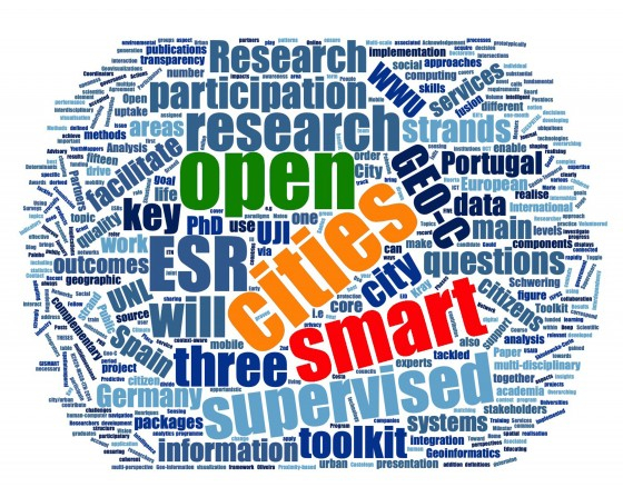
All over the globe more and more people work and live in cities. The sustainable and humane design of urban areas is therefore a main challenge of the 21st century. Experts believe that the concept of "smart cities" is of great importance in the development of solutions: The goal is to plan and develop cities in such a way that they become more worth living through the skilful use of technologies and at the same time conserve resources. The European doctoral programme "GEO-C: Enabling Open Cities" at the WWU Institute for Geoinformatics under the direction of Prof. Dr. Christian Kray was funded by the European Commission for a period of four years - the researchers from Münster cooperated with the New University of Lisbon (Portugal) and the University of Jaume I (Spain). Around 15 doctoral students have developed solutions for the cities of the future - three of them report on their research in the university newspaper wissen|leben.
The protection of privacy of “location-based services“
by Mehrnaz Ataei
We are all surrounded by various technologies that permanently collect personal data. The omnipresence of those technologies makes it difficult for us to understand what it means to disclose our personal information by using digital media.
Location-related data or the physical location of individuals are personal data that are used by many different services and applications to provide location-specific information to the user. Google Maps or Facebook are well-known examples: they help users to orient themselves more easily, especially in places unknown to them. Location-specific data are valuable because they reveal a lot about the particular person. The often unwanted publication of such information may harm or endanger the person. For example, burglars can find out when residents are away from home. Or companies can analyse the chronology of a person’s location-based data and thereby find out about their habits and interests in order to spy them or to send targeted advertising.
The main purpose of my research was to find a way to both offer a service that accesses a user’s location-related data and protects the privacy of the user. For this I have developed technical solutions to change the architecture of these services. I’ve developed new user interfaces to give users the ability to customize the settings for publishing their location-based date. Finally, I’ve developed guidelines that can help designers and developers design location-based services that respect the privacy of users.
Apps help refugees on arrival in a foreign city
by Ana Maria Bustamante
Throughout history, again and again people have been forced to leave their homes. According to the United Nations High Commissioner for Refugees, 65.8 million people worldwide had to leave their homes to escape war or oppression in 2017.
Today, digital services and technologies, such as mobile phones and apps, play a major role in the flight. Some of those services are used to find an escape route or possible destination cities. They are also used for language learning to facilitate communication. However, the full potential of these digital services for refugees has not been sufficiently explored yet. In my study, I focus on how to engage young refugees more actively in the development of mobile (space-related) services, such as individually customizable navigation apps and city maps, to help them on their arrival in their first few months in Münster. First of all, I focused on working with them to find out what challenges and needs they have in these phases. Then we explored different approaches to participatory development practice and theory, such as the creation of “protected spaces” to foster active participation. For this purpose, we have combined strategies and concepts from the fields of human-machine interaction and educational sciences. Finally, with an open source software, we developed two prototypes for mobile apps designed to help refugees orient themselves on their arrival in Münster. The gained knowledge helps to develop apps for refugees together with them in participatory development processes in the future, which will make it easier for refugees to settle in their new city.
New measuring stations to analyse the air quality
by Shivam Gupta
Half of the world’s population lives in cities – and the number is rising. This growth leads to various ecological, social and economic challenges and affects the quality of life of the city dwellers. Despite many technological advances and numerous tools, air pollution has been one of the greatest health risks for decades and affects the individual quality of life and well-being.
Since there are only a few measuring stations in cities, large gaps in data collection arise, so that scientists do not yet understand well the reasons for the different air quality within a city. My research develops methods to close these data gaps. First of all, I developed a method that uses freely accessible data to find optimal locations where new measuring stations will be placed. This also includes measuring stations that interested residents want to set up to get even better coverage. In order to close more data gaps and be able to assure residents the anonymity of the data they measured, I contacted housing associations to become partners. Since there is limited data on traffic conditions, which are very important to estimate air pollution, I have developed a cost-effective hardware system to measure the vehicle traffic.
The results of my work help to improve the currently insufficient air measurements in cities: More accurate measurements allow a better understanding of the different air quality in a city, which in turn is the prerequisite for improving the health of residents and their quality of life in cities.
This article is from the university newspaper wissen|leben, No. 1, January 30, 2019.